
Grade 6 students have recently been working on a distance and mapping project – they planned out a ski trip around the lesser known ski hills of Maine, the first stage being researching locations, costs and distance. To help plan out their trips and see where the different ski hills are located in relation to each they used Scribble Maps to create an annotated layout of the different locations.
Students had to locate each ski hill, draw a polygon shape across where the ski trails were located (this made sure they were in the correct location), and add a push pin and a text label (which can be seen at all levels of maps zoom).
Here is what an individual ski location ended up looking like:

And here is a completed ski map zoomed out to see all the different location points:

Once students had completely planned out their route, including distances and resort prices they used Google Maps to determine an exact driving route. We then used all this data to create a final Google My Maps map with the route for each day from resort to resort and a marker for each stop displaying the name of the resort, an image of the ski area and short description.
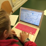
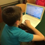
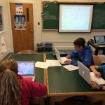
Here are a few shots of the students working to create their maps:
And the final route maps are embedded below: